Transportation, Roads & Parking
Home & Property
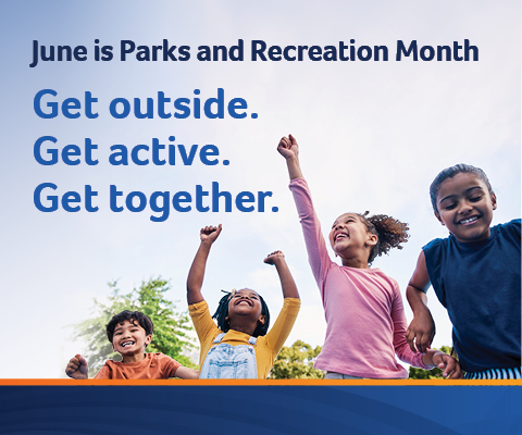
Parks, Recreation & Culture
Bylaws, Permits & Licences
Business & Development
City Government
About Regina
You Might Be Looking For
Learn about water, property taxes, garbage & recycling collection, yard care, emergency services, and more.
You Might Be Looking For
Find information about parks, recreation facilities and programs, city events, cemeteries, art, culture and more.
You Might Be Looking For
Did You Know?
Register for recreation classes, book indoor courts and view your family's schedule with your Regina Recreation account.
Find information on bylaws, applying for permits, licensing pets, businesses or taxis, and more.
You Might Be Looking For
Find business information related to City planning and development, commercial property tax, real estate, City materials for sale and more.
You Might Be Looking For
Did You Know?
You can access your property and water/utility account information online.
Learn more about municipal government, including the Mayor and Council, wards, committees, budget and more.
You Might Be Looking For
Find out why Regina is a great place to live, work and visit.
- Gear Store & Merchandise
- Regina History & Facts
- Official Community Plan
- Maps & Neighbourhood Profiles
- Renewable Regina
- Moving to Regina
- Job Opportunities
- Community Safety & Well-being
- Grants & Scholarships
- Winter City Strategy
- Be Heard Regina
- Accessibility & Affordability
- Reminders & Notifications
- Contact Us